All entriesR-08
Domain
Geospatial Intelligence
Status
Geospatial · Private development preview

TERRAVEN

See information in its place.

A geospatial development workspace with an interactive globe, public-feed adapters, map annotations and permissioned NYRION navigation.
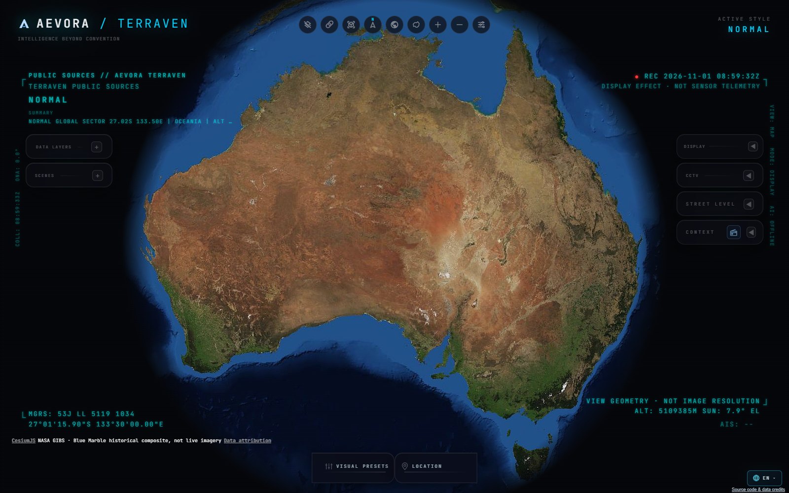
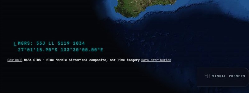
Exhibit R-08.1 · TERRAVEN geospatial workstationCaptured 1 Nov 2026
TERRAVEN globe centred on Australia with the layer, scene and display panels of the geospatial workstation.
Source
AEVORA development build
Data class
NASA GIBS Blue Marble · historical composite, not live imagery
Status
Private preview
Exhibit R-08.2 · TERRAVEN position readout and imagery credit, detail at 1:1Captured 1 Nov 2026
Detail of the TERRAVEN globe at full size: grid reference and coordinates, and the imagery credit stating a historical composite, not live imagery.
Source
AEVORA development build
Data class
NASA GIBS Blue Marble · historical composite
Status
Private preview
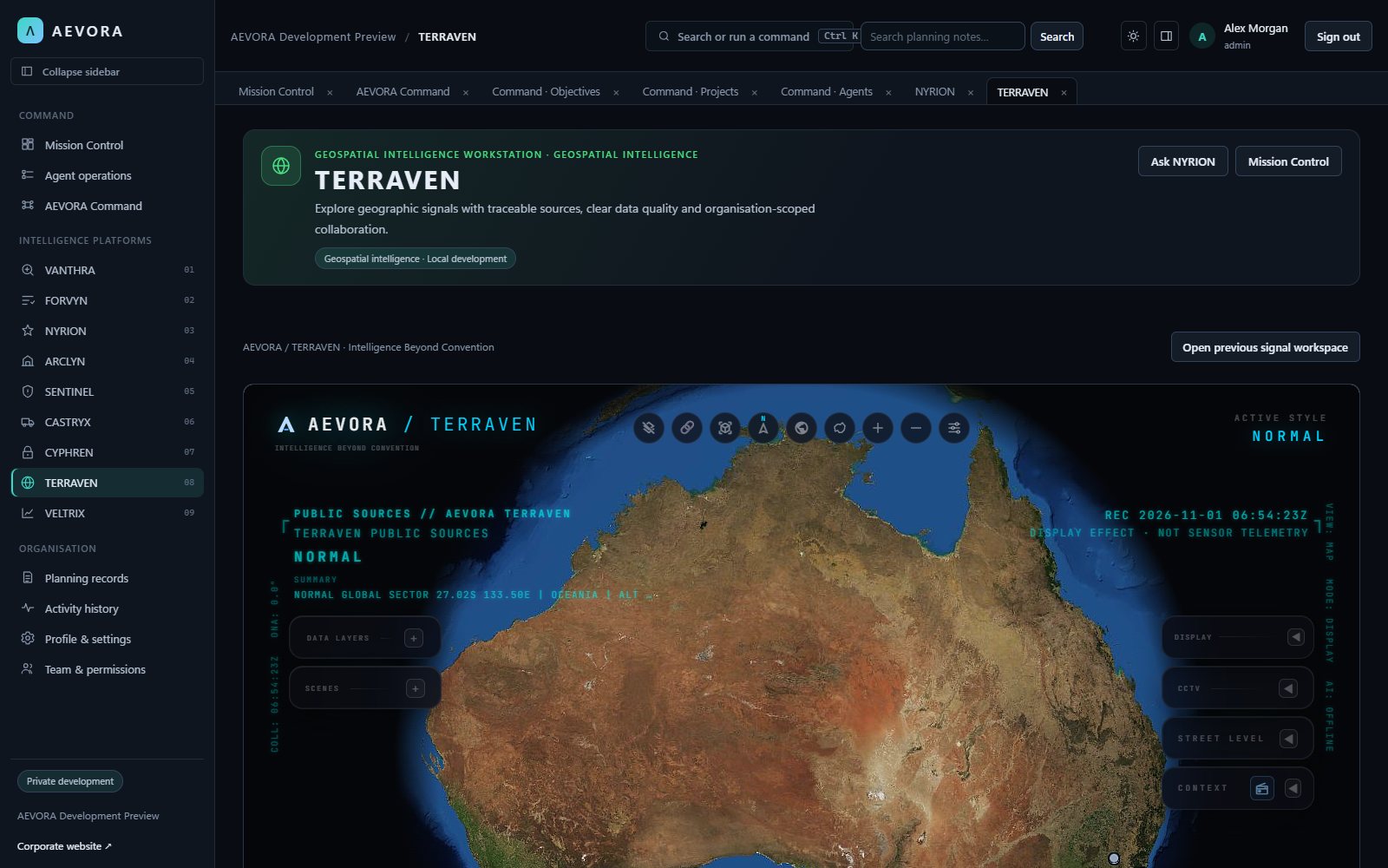
Exhibit R-08.3 · TERRAVEN inside the AEVORA applicationCaptured 1 Nov 2026
TERRAVEN running inside the AEVORA application, with the platform navigation on the left and the globe workspace on the right.
Source
AEVORA development build
Data class
Public imagery · historical composite
Status
Private preview

Purpose in practice

  • Explore licensed spatial and environmental layers
  • Search locations and compare geographic context
  • Trace observations to their original sources

Architecture

  • Spatial catalogue with licensing metadata
  • Geographic query and map interfaces
  • Observed and retrieved timestamps for connectors

From information to considered action

Geospatial analysts, infrastructure planners and teams interpreting public geographic observations.

  1. ContextSelect a location and available layers
  2. InterpretationInspect source, licensing and freshness
  3. ReviewAnnotate context and review any derived interpretation

Illustrative operating concept, not a live interface or a claim that planned features are implemented.

Connected opportunities
The private preview includes permissioned NYRION map navigation. Future Sentinel and ARCLYN connections require separate integration work.
AI with a defined role
Private preview map assistance is bounded and permissioned. Source coverage, data availability and interpretation still require human review.
R-09VELTRIX

File a request. A person reads it.

Tell us what your organisation is working towards. Every request is stored and reviewed before we suggest a demonstration or an access pathway.

Filed by
You, when you submit
Signed for by
The AEVORA owner, on review
Reference
Issued only once stored

Signed for on review